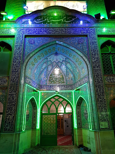
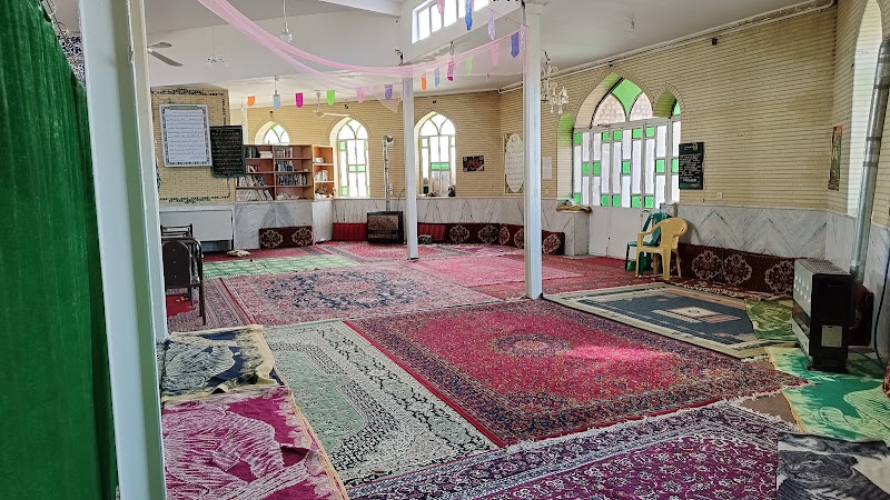
mosque
Eight meters (هشت متری)
About this place
Discover Eight meters (هشت متری)
Eight Meters
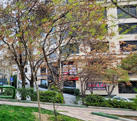
Eight Meters is a location situated in the Qods district of Tehran Province, Iran. This area is part of the larger Tehran metropolitan region, which has a rich history and cultural significance. Tehran, the capital of Iran, has evolved from a small village in the 11th century to a bustling metropolis. Its strategic location between the Alborz mountain range and the Kavir desert has influenced its development and climate. The city experiences a hot, arid climate with four distinct seasons, and its elevation contributes to diverse climatic conditions. (britannica.com)
Historical Background
The first mention of Tehran dates back to the 11th century, where it was described as a small village north of Ray (Rayy). Archaeological remains from the city of Ray, once known as Raghā and a major city throughout history, show signs of settlement on the site as long ago as 6000 BCE. Ray, often considered to be Tehran’s predecessor, became the capital city of the Seljuq empire in the 11th century but later declined with factional strife between different neighborhoods and the Mongol invasion of 1220. Although in later years Ray continued to serve as an important center of strategic advantage during various military campaigns across the Iranian plateau, its significance as a city was lost. Now a suburb of Tehran, Ray is well known for its religious shrines. (britannica.com)
In the 13th century, Tehran was a prosperous market town, known for its pomegranates, its 12 rival neighborhoods with their underground dwellings surrounded by a band of trees, and its defiance of the government. Ruy Gonzáles de Clavijo, a Spanish diplomat and early 15th-century visitor to Tehran, described it in 1404 as very large, with no town walls—a delightful, well-supplied locale. Its strategic location and gardens attracted the Safavid shah Ṭahmāsp I, who built a bazaar and a square town wall with four gates in 1554. Later Safavid kings added more buildings, including a citadel, and Tehran’s significance grew as it evolved from a garrison town into a center of trade and a regional capital. (britannica.com)
In 1786, Tehran became the seat of Agha Mohammad Khan, the founder of the Qajar dynasty, who favored the city for its proximity to his traditional tribal territories and for its distance from former capitals still populated by elites loyal to previous rulers. The city’s population was expanded by courtiers and soldiers, who then drew more people and subsequently spurred the development of trade and industry. After 1796, its population more than tripled, reaching 50,000 in little more than a decade. By the mid-19th century, residential neighborhoods surrounded the walled citadel, the roofed bazaar, and the city’s two focal points, Citadel Square and Herbs Market Square. Tehran exerted a limited control as the administrative center of an empire formed of a collection of loosely knit provinces with largely self-sufficient, closed agrarian economies and multiethnic communities. (britannica.com)
Geography and Climate
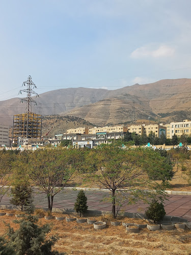
Tehran is located on the steep southern slopes of the Alborz mountain range, which traces an arc along the coast of the Caspian Sea in northern Iran. Its highest peak, Mount Damavand (Demavend), has an elevation of more than 18,400 feet (5,600 meters) and is visible from Tehran on clear days. The highest point in Iran, Damavand is also higher than any other peak among the summits to its west in Asia and Europe. The symbolic significance of this site and its location on the historic east-west trade route (Silk Road) have ensured that this area has been the site of significant settlement for several millennia. Tochāl ridge (12,904 feet [3,933 meters]), the site of a popular ski and recreation site linked to the city by a series of cable cars, dominates the city from the north, while the city’s southern reaches extend toward Kavir, a desert located in north-central Iran. (britannica.com)
�
Location