Hiking area
Bixslade
Cannop Road, Parkend, Lydney GL15 4JP
Audio guide Listen to the audio guide for Bixslade Tap to listen in Voicemarks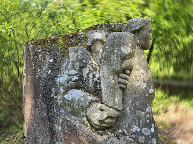
Bixslade
Bixslade, occasionally spelled Bix Slade, is a steep-sided valley situated in the Forest of Dean, Gloucestershire, England. This picturesque gorge has been a focal point for quarrying and mining activities for over five centuries, earning it the distinction of being "one of the country's finest areas of extractive industrial heritage." (en.wikipedia.org)
Geological Composition
The valley's geological foundation is primarily Pennant Sandstone, interspersed with shale and coal seams. A distinctive feature of Bixslade is the presence of iron ore deposits along the northern side, which impart a unique pink hue to the landscape. This geological composition has made the area a significant site for mining activities throughout history. (en.wikipedia.org)
Historical Mining and Quarrying
Mining and quarrying in Bixslade date back to at least the 15th century, with records indicating extraction activities at Bixhead, the highest point of the valley. The valley has been continuously quarried or mined for over 500 years, with various methods employed to access the rich mineral resources. The Yorkley Seam and the Coleford High Delph, two significant coal seams, were historically accessed through drifts, shafts, and levels. The Coleford High Delph seam, being thicker and more substantial, required more extensive mining techniques. (en.wikipedia.org)
The Bicslade Tramroad, established in 1812 by the Severn and Wye Railway and Canal Company, was a horse-drawn tramroad designed to serve the collieries and quarries in the lower part of the Bixslade valley. It was extended over time to run the full length of the valley, with the last stretch to Bixhead Quarry opening in 1855. The tramroad ceased operations in 1946, but remnants, including stone sleepers, remain visible today. (en.wikipedia.org)
Ecological Significance
Ecologically, Bixslade supports a diverse range of habitats, including deciduous and coniferous woodlands, open glades, and wetlands. The area's rich biodiversity is attributed to its varied topography and the reclamation of former industrial sites by nature. Abandoned quarries and mining sites have been transformed into habitats for species such as greater and lesser horseshoe bats, reptiles, and a variety of plant life. Spion Kop Quarry, a disused site, has been converted into a nature reserve managed by the Gloucestershire Wildlife Trust and is accessible to the public. (en.wikipedia.org)
Cultural and Historical Landmarks
Bixslade is home to several cultural and historical landmarks that reflect its rich industrial heritage. A notable site is the monument commemorating the Union Pit disaster of 1902, where four miners lost their lives due to flooding. This monument serves as a poignant reminder of the valley's mining history and the lives affected by it. (en.wikipedia.org)
Current Quarrying Operations
Today, Bixslade continues to be a site of active quarrying, with Monument Quarry, Mine Train Quarry, and Bixhead Quarry extracting Pennant Sandstone. These operations are not open to the public; however, the surrounding area offers scenic beauty and a glimpse into the region's industrial past. Visitors can explore the valley's natural beauty and historical sites, such as the monument commemorating the Union Pit disaster of 1902, where four miners lost their lives due to flooding. (en.wikipedia.org)
Visitor Information
For those interested in exploring Bixslade
Location
Place details
- Area
- Lydney, Lydney
- Country
- United Kingdom