attractions
Lopera Peak (Pico de Lopera)
18698 Otívar, Granada
Audio guide Listen to the audio guide for Lopera Peak (Pico de Lopera) Tap to listen in Voicemarks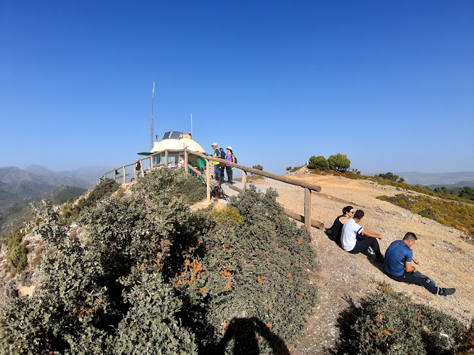
Pico de Lopera
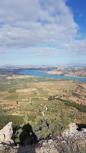
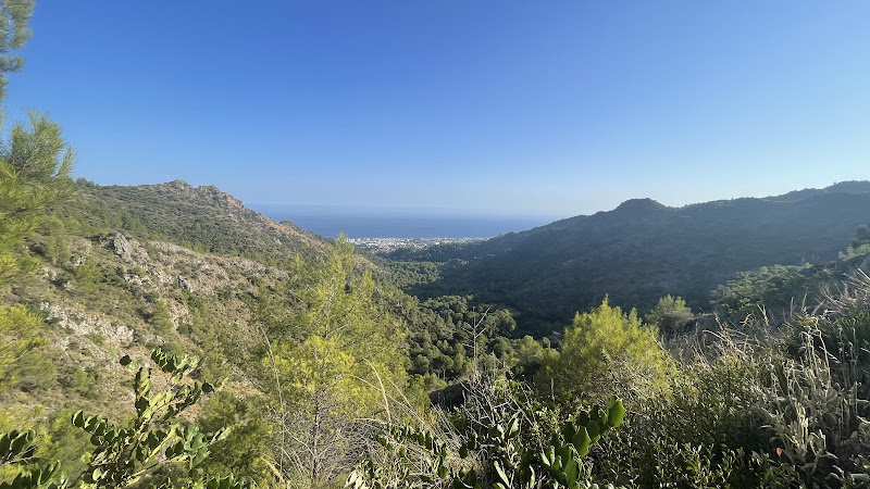
Pico de Lopera, standing at an elevation of 1,485 meters, is a distinguished peak located within the Sierras de Tejeda, Almijara, and Alhama Natural Park in the province of Granada, Spain. This peak is part of a rugged mountain range that forms a natural boundary between the provinces of Granada and Málaga, offering a diverse and rich landscape.
Geographical and Geological Features
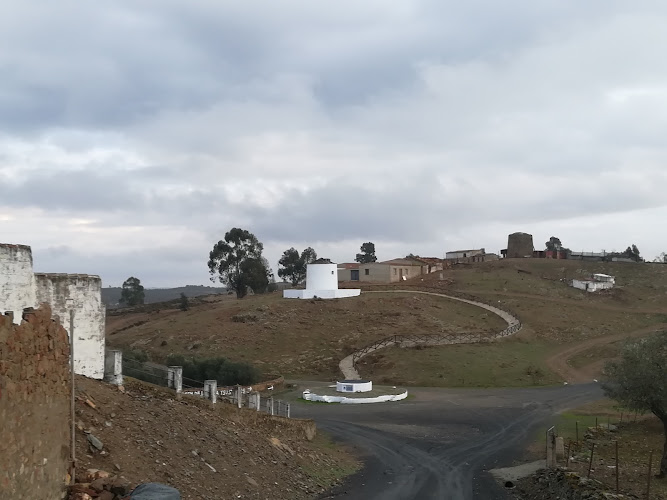
The Sierras de Tejeda, Almijara, and Alhama Natural Park encompasses a vast area characterized by steep cliffs, deep ravines, and a complex network of valleys. The park's geological composition includes limestone and dolomite formations, resulting in dramatic karst landscapes with unique rock formations and caves. Pico de Lopera contributes to this topographical diversity, providing a vantage point to observe the intricate interplay of geological processes that have shaped the region over millions of years.
Flora and Fauna
The natural park is home to a variety of ecosystems, ranging from Mediterranean forests to subtropical vegetation. The lower elevations are adorned with dense forests of pine and oak, while higher altitudes support alpine meadows and rocky outcrops. The park's diverse habitats support a rich array of wildlife, including the Iberian ibex, wild boar, and a variety of bird species such as the Bonelli's eagle and the short-toed snake eagle. The presence of these species underscores the ecological significance of the area and the importance of conservation efforts to preserve its biodiversity.
Cultural and Historical Significance
The region surrounding Pico de Lopera has a rich cultural and historical heritage. The area has been inhabited since prehistoric times, with evidence of ancient settlements and agricultural practices. The strategic location of the mountains made them a focal point during various historical periods, including the Reconquista and the Spanish Civil War. The rugged terrain provided natural fortifications, influencing the development of local communities and their interactions with neighboring regions.
Recreational Activities
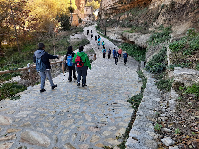
Pico de Lopera serves as a hub for outdoor enthusiasts, offering a range of activities that cater to different interests and skill levels. The Sendero Pico de Lopera trail is a circular hiking route approximately 9.1 kilometers in length, with a cumulative elevation gain of 296 meters. The trail is designed to be accessible to hikers of varying abilities, with an estimated completion time of 2.5 hours. The path meanders through diverse landscapes, including dense forests, rocky outcrops, and terraced agricultural plots known as "Los Pacos." These terraces are a testament to the traditional farming practices that have been employed in the region for centuries. The trailhead is conveniently located near the village of Otívar, making it an ideal starting point for exploration.
Otívar: The Gateway to Pico de Lopera
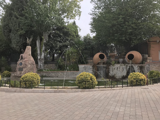
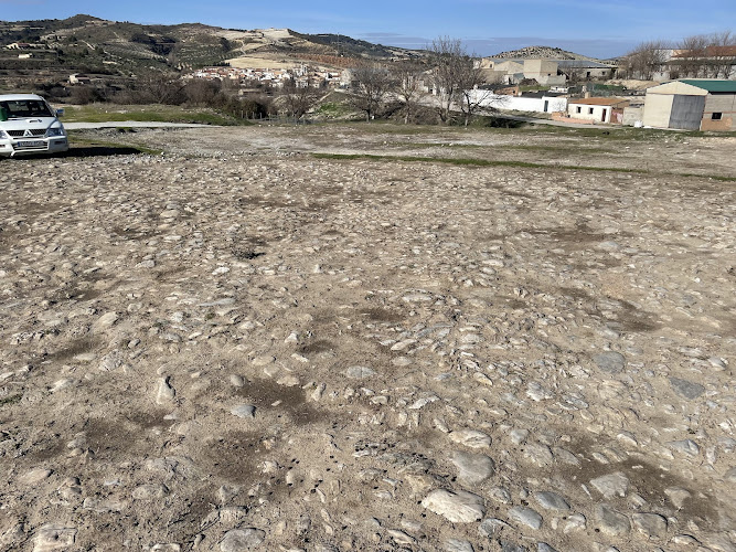
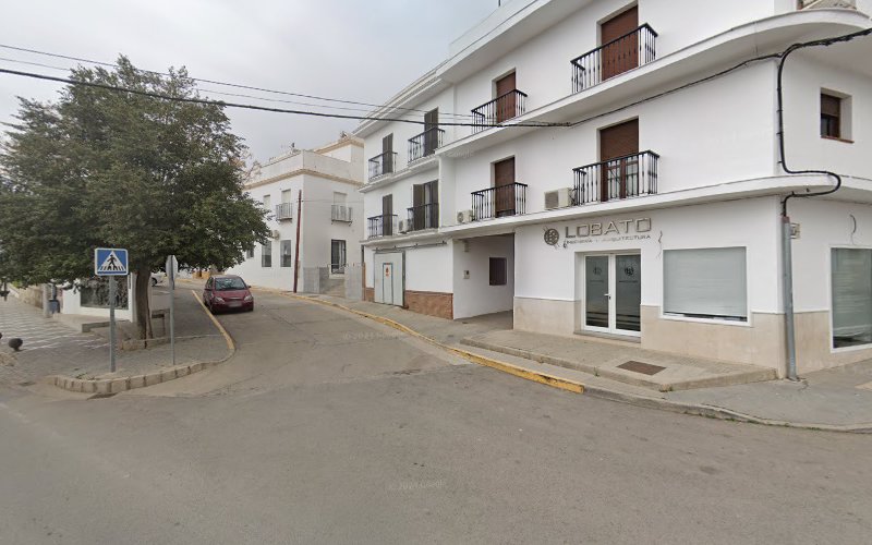
Otívar, situated at an altitude of 267.80 meters above sea level, serves as the primary access point to Pico de Lopera. The village is nestled within the Verde River Valley, offering picturesque views of the surrounding mountains and valleys. Otívar's strategic location at the foothills of the Sierra de Cázulas and Almijara mountains has historically made it a crossroads for various cultures and peoples. The village's architecture reflects its Andalusian heritage, with whitewashed houses adorned with balconies and flower boxes, creating a charming and inviting atmosphere.
Climate and Agriculture
Otívar enjoys a unique subtropical microclimate, characterized by mild temperatures and abundant sunshine. This climate is particularly conducive to the cultivation of tropical fruits, with loquats being a notable product. The fertile soils and favorable weather conditions have attracted agriculturalists and entrepreneurs seeking to cultivate exotic fruits and crops. The village's economy is closely tied to agriculture, with a focus on sustainable practices that respect the natural environment.
Conservation Efforts
The establishment of the Sierras de Tejeda, Almijara, and Alhama Natural Park has been instrumental in preserving the unique landscapes and ecosystems of the region. Conservation initiatives aim to protect endangered species, maintain biodiversity, and promote sustainable tourism. Efforts include habitat restoration, environmental education programs, and the development of eco-friendly infrastructure to support responsible tourism. These initiatives are crucial for ensuring that future generations can experience and appreciate the natural beauty and cultural heritage of the area.
Visitor Information
Visitors to Pico de Lopera and Otívar can access the area via the A-4050 road, which connects the village to the N-340 coastal highway. �
Location
Place details
- Area
- Otívar, Granada
- Country
- Spain